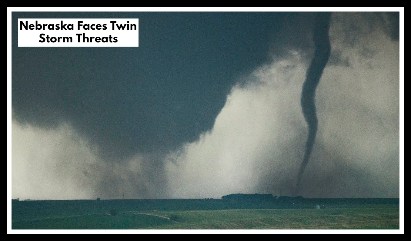
Nebraska Faces Twin Storm Threats: Afternoon Tornado Risk and Midnight Downpours Ahead!
The weather across Nebraska is about to take a sharp turn, and it’s something residents should prepare for now. With Nebraska Severe Weather Monday unfolding throughout the day, conditions are right for a volatile mix of thunderstorms — some capable of producing hail larger than 2 inches, damaging winds, and possibly a few tornadoes, especially in the northeast near the South Dakota border.
If you’re in areas like O’Neill, Norfolk, Wayne, or Ainsworth, be ready. The first wave of severe storms is expected between 10 a.m. and 3 p.m., and this one could pack a punch. Large hail and brief tornadoes can develop fast and without much warning. Many of these storms could move quickly, but with intense bursts of wind and rain that make driving dangerous and outdoor plans risky.
Why the Nebraska Severe Weather Monday Alert Shouldn’t Be Ignored
What makes Nebraska Severe Weather Monday even more concerning is that it won’t stop when the sun goes down. A second round of storms is expected to roll through during the overnight hours — potentially between 2 a.m. and 7 a.m. on Tuesday. That round could bring more widespread wind, lightning, and heavy rain to parts of central and eastern Nebraska. The risk here is less about size and more about timing — severe weather in the middle of the night can catch people off guard.
While this system may not lead to a statewide outbreak, the ingredients are in place for localized but significant impacts. Whether it’s hail smashing car windshields, trees downed by wind, or dangerous late-night lightning, this is the kind of weather event where preparation matters — even if it only affects a few communities.
How You Can Stay Ahead of the Storm
-
Check your local forecast before heading out today — and again before bed tonight.
-
If you live near the SD border, plan to stay indoors during peak storm hours today.
-
Make sure your phone alerts are turned on, especially if storms hit overnight.
-
If your area is prone to flooding or power loss, take precautions now — even small steps help.
FAQ About Nebraska Faces Twin Storm Threats
1. What’s actually happening with the weather today?
We’re looking at a two-part storm threat across Nebraska. The first round of storms is expected between late morning and early afternoon (10 a.m. to 3 p.m.), especially up north near the South Dakota border. These storms could be strong — even dangerous, with very large hail, damaging winds, and the possibility of a quick-hitting tornado. A second round may roll through overnight while most of us are asleep.
2. Who’s most at risk from these storms?
If you live in northeastern Nebraska — places like O’Neill, Norfolk, Wayne, or Ainsworth — you’ll want to be extra weather-aware today. That area is in the bullseye for the afternoon storms, which could turn severe quickly.
3. Is this something I should really worry about?
Yes, but don’t panic — just be prepared. These aren’t your average pop-up summer storms. Some areas could see hail bigger than golf balls, strong wind gusts, or even a tornado. Not everyone will get hit, but for those who do, it could be serious. And overnight storms can be tricky since they often catch people off guard.
4. What can I do now to stay safe later?
A few simple steps make a big difference:
-
Try to stay indoors this afternoon, especially if you’re up north.
-
Bring in anything outside that could blow around or break.
-
Charge your phone and check that emergency alerts are turned on.
-
Know where you’d go in your house if a tornado warning popped up — think basement or a small room without windows.
5. Is more bad weather coming after this?
Today and tonight are the biggest concern right now, but the week isn’t looking quiet. There could be more storms midweek, depending on how things unfold. The best plan? Keep an eye on the forecast, especially if you’re making travel or outdoor plans over the next few days.