New York Severe Weather Alert Issued—Here’s What’s Coming and When It Hits
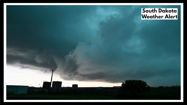
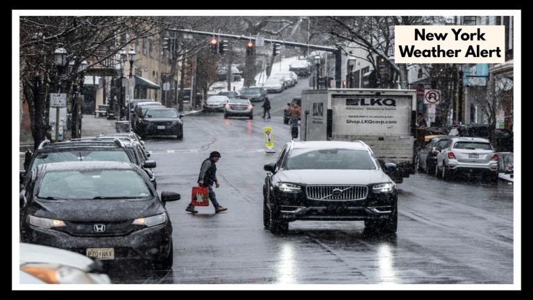
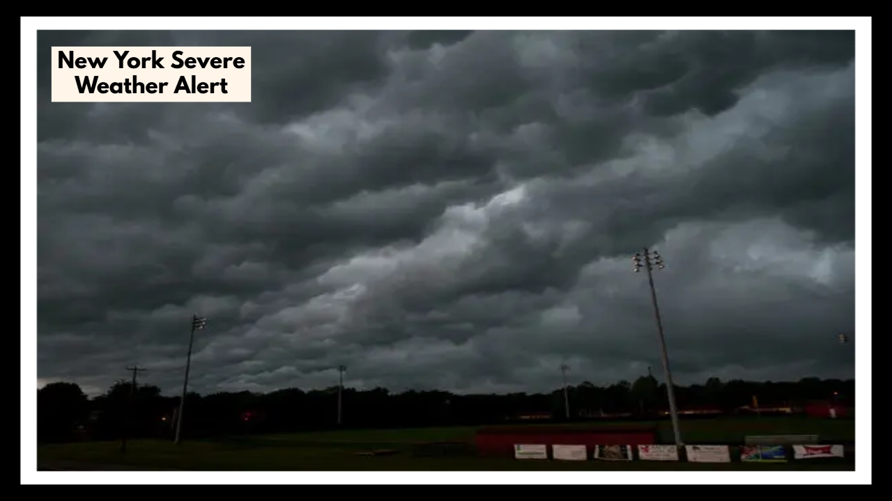
Residents across Western New York are being urged to stay alert this evening as a strong storm system sweeps into the region, prompting a New York Severe Weather Alert that includes Buffalo, Rochester, and nearby towns. This isn’t just another rainy spring day—meteorologists are warning that this system has all the ingredients for serious trouble.
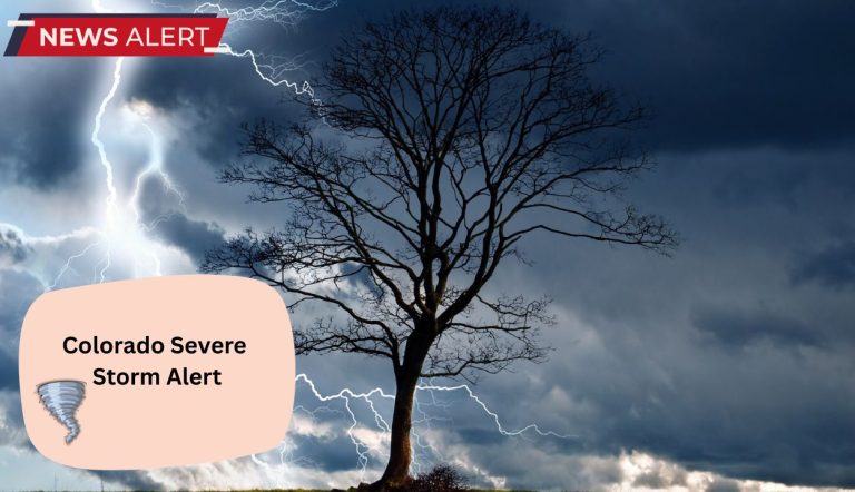
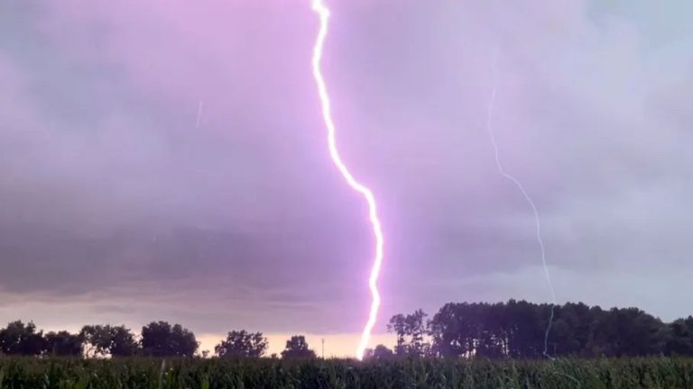
We’re talking about fast-moving thunderstorms capable of producing fierce wind gusts, pounding hail, heavy downpours, and possibly even a tornado. It’s the kind of weather that can knock out your power before you even realize it’s getting bad outside.
What’s Unfolding Right Now
As of Tuesday afternoon, the weather might seem deceptively calm. Rochester is pushing 80 degrees with sunny skies, and Buffalo hasn’t seen a drop of rain yet. But the quiet won’t last.
Forecasters are closely watching an unstable air mass building strength behind the scenes. As the afternoon wears on, that warm air is expected to collide with a cold front moving in fast—an atmospheric clash that can trigger dangerous storms in a matter of minutes.
Here’s what experts are warning we could see by evening:
-
Wind gusts reaching 50–60 mph—enough to knock down trees, power lines, and even damage rooftops
-
Hailstones potentially the size of quarters
-
Heavy rain that could overwhelm drainage systems and cause flash flooding
-
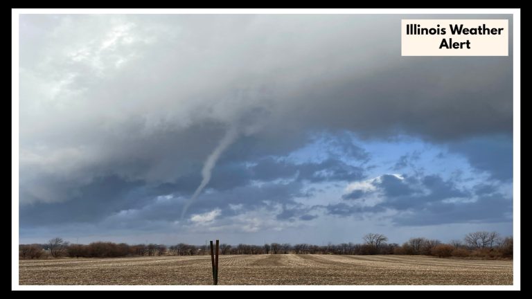
A slight risk of isolated tornadoes—unlikely, but not off the table in volatile setups like this
Parts of Monroe County have already seen some early impacts, with trees toppled and wind gusts reported above 55 mph. That may only be the beginning of what’s coming.
Why This New York Severe Weather Alert Deserves Your Attention
These alerts aren’t issued lightly. When you see a New York Severe Weather Alert, it means there’s a real, credible risk to lives and property. This storm is fast-moving and intensified by an unusual southeast wind direction—something that makes it even more dangerous than typical spring weather systems.
For areas that don’t usually get hit hard, this storm could still leave a mark. Downed power lines, blocked roads, and flooded basements are all on the table. Emergency crews are already gearing up for a busy night, and officials are asking the public to be proactive—not reactive.
How to Prepare Before the Storm Hits
If you’re in the affected area, now is the time to act—not after the wind picks up. Here are a few simple steps you can take right away:
-
Secure anything outside that could get blown around—patio furniture, grills, trash cans, toys.
-
Make sure your phones and battery packs are fully charged.
-
Keep flashlights, candles, and extra batteries handy.
-
Avoid unnecessary travel this evening. If you do have to drive, stay updated on road and weather conditions.
-
Keep a close eye on alerts from the National Weather Service or your local news station.
Spring in New York can bring beautiful sunshine—or storms that knock your weekend off course in a heartbeat. Tonight’s storm is one of those unpredictable, fast-developing systems that remind us how quickly things can change.
The New York Severe Weather Alert is more than just a heads-up—it’s a warning to take seriously. Stay safe, stay indoors when the storms roll in, and check in on loved ones who might need help preparing. With a little planning, we can all weather the storm.
FAQ About New York Severe Weather Alert
1. Who’s actually in the path of this storm?
If you’re in Western New York—especially around Buffalo, Rochester, or nearby towns—you’re in the alert zone. This storm system is packing a punch, and the weather could get rough quickly. Even areas that don’t usually see strong winds or hail could be affected tonight.
2. What kind of weather are we really talking about?
This isn’t just a little rain and wind. We’re talking about strong wind gusts (up to 60 mph), hail big enough to ding your car, and heavy downpours that could lead to street flooding. There’s also a slight chance of a tornado, which is rare—but not impossible with this kind of setup.
3. When should I expect things to get bad?
The calm won’t last long. The worst weather is expected to move in during the late afternoon into the evening. It might look nice out now, but don’t let that fool you. These storms can develop fast, so it’s best to be ready before dinner time.
4. What should I do to get ready?
A few simple steps can go a long way:
-
Secure or bring in anything outside that could blow around—think patio furniture, garbage bins, garden tools.
-
Charge your phone and portable chargers in case the power goes out.
-
Keep a flashlight or lantern handy, especially if you don’t have backup power.
-
Try to stay off the roads once the storms move in—it’s safer to be home.
5. Is this normal for spring in New York?
We do get spring storms, but this one’s a little more intense than usual. The mix of warm, muggy air and a sharp cold front is setting the stage for something more powerful. Plus, the winds are coming from an unusual direction, which could make the storm more damaging than people expect in certain areas.