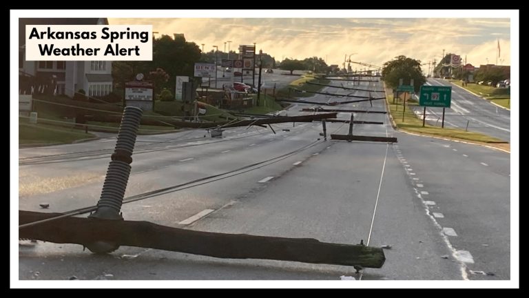
New York Weather: Thunderstorm Risk Tuesday Through Wednesday Morning and Gusts Up to 40 MPH
With early showers, afternoon storms, and wind gusts of up to 40 mph before easing down Wednesday morning, the New York City area is in for a stormy Tuesday.
According to the National Weather Service New York, a cold front moving across the region early Tuesday will produce sporadic morning showers, mostly east of the city. Light winds will begin the day but pick up speed by the late afternoon, peaking at 25 mph with gusts of up to 30 to 40 mph. The NYC suburbs to the north and west, such as West Milford and White Plains, are predicted to see the highest gusts.
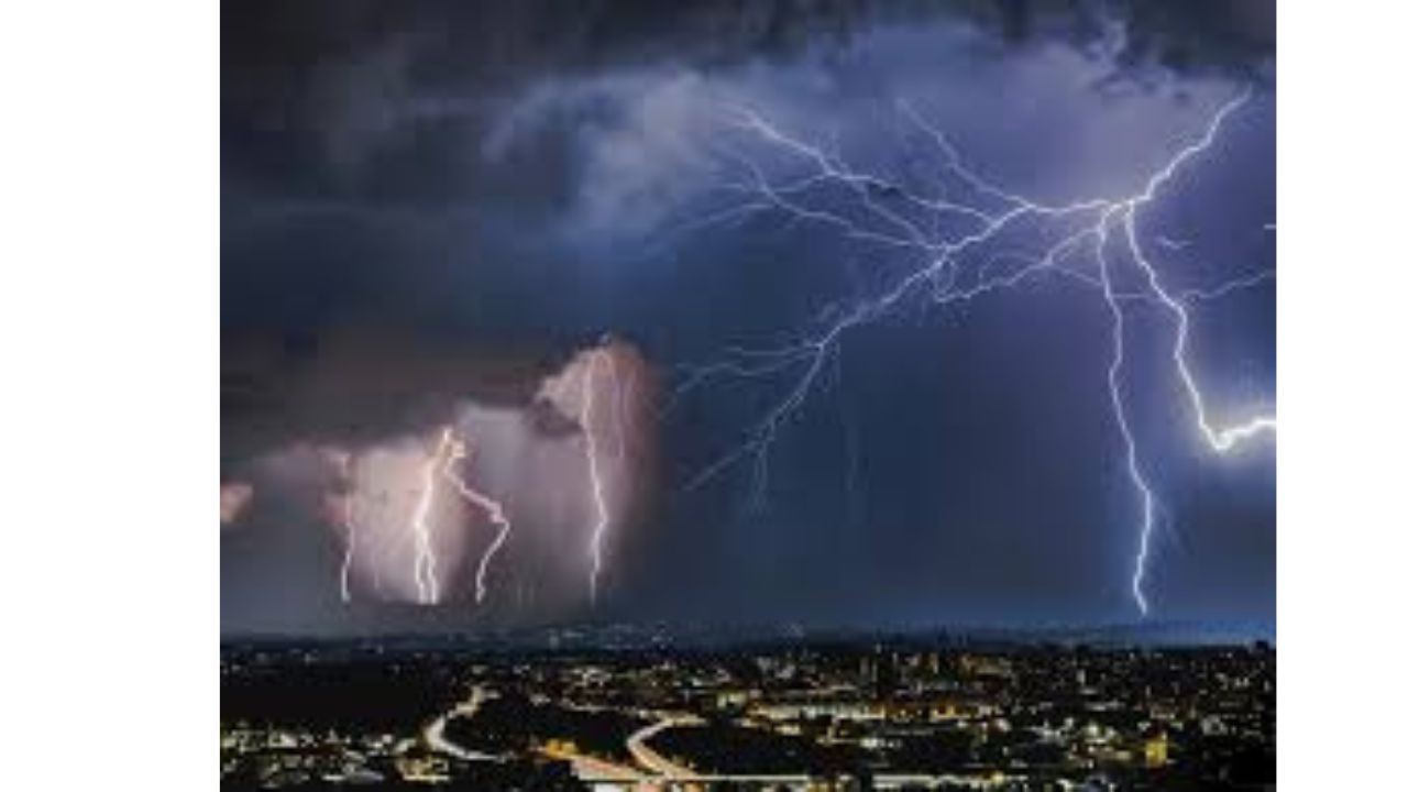
As the front passes, late-day storms may form, resulting in isolated thunderstorms and heavier localized wind gusts of up to 50 mph. With a partly overcast afternoon sky, temperatures will range from mid-40s morning lows to 60s highs.
Residents are asked to watch for local advisories, secure unsecured outdoor items, and exercise caution while crossing bridges and high roadways. The NWS predicts that conditions will subside by Wednesday as high pressure moves in and brings cooler, drier air.