North Carolina Storm Alert Issued: Here’s Why Raleigh Could See Dangerous Winds and Hail Today
What started as a quiet spring day across the Triangle is quickly taking a turn. A North Carolina Storm Alert has been issued as severe thunderstorms are expected to roll through Raleigh, Durham, and surrounding communities this afternoon and evening. The National Weather Service is warning that these storms could bring damaging winds, large hail, and other hazardous conditions—lasting through 8 PM Friday.
If you’ve been out and about enjoying the mild morning weather, don’t let it fool you. This is the kind of system that can escalate quickly, and it’s already showing signs of doing just that.
So, What’s Coming Our Way?
Forecasters say the atmosphere over central North Carolina is primed for trouble. There’s enough warmth, moisture, and instability in the air to fuel strong to severe thunderstorms, with the worst expected between late afternoon and early evening.
This storm system carries a Level 2 out of 5 risk, meaning while not everyone will see extreme weather, the chances are high enough that it deserves our full attention.
Here’s what’s on the table:
-
Wind gusts up to 60 mph, strong enough to knock down tree limbs and unsecured objects
-
Hail the size of quarters or larger, which can damage vehicles, roofs, and gardens
-
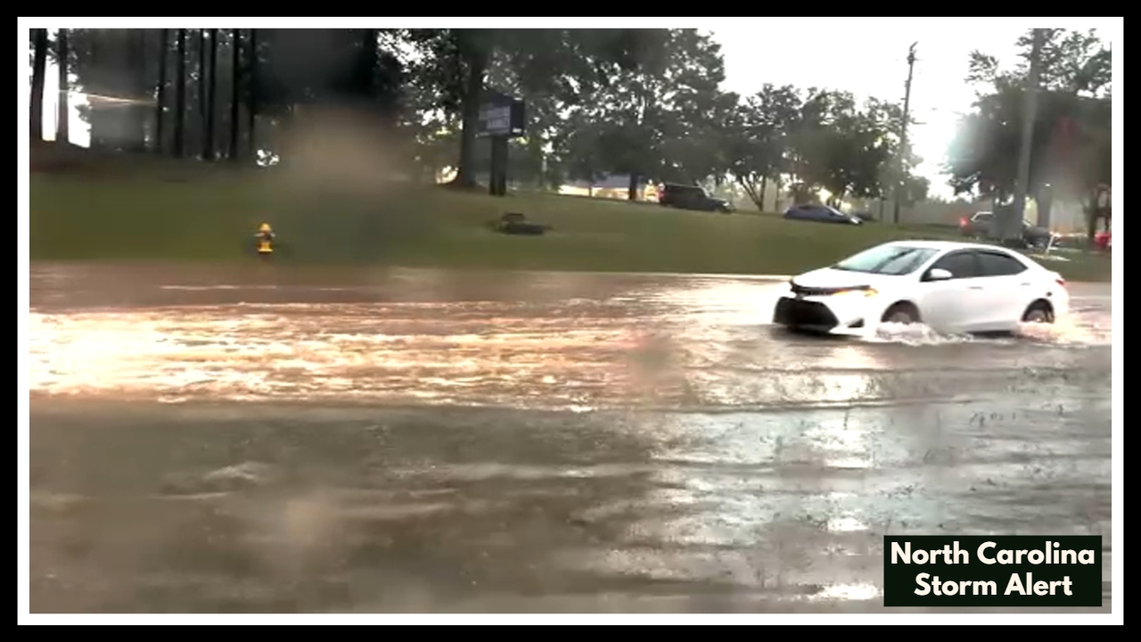
Heavy rain, which may cause sudden localized flooding, especially in low-lying areas
-
A slight chance of tornadoes, particularly in places where storms gain rotation
Right now, Raleigh sits at a humid 67°F under mostly cloudy skies. Don’t be surprised if everything seems calm before lunch—that’s typical before a weather system like this builds up. Temperatures are expected to climb to 82°F, and with this much moisture in the air, conditions are perfect for thunderstorms to ignite with little warning.
North Carolina Storm Alert: Here’s What You Can Do Right Now
With this North Carolina Storm Alert in place, now’s the time to prepare—not panic. These storms can move fast and develop rapidly, so it’s smart to get ready before they hit.
Here are a few quick steps to help keep your home and family safe:
-
Secure or bring in anything loose outside—patio furniture, umbrellas, toys, even garbage bins
-
Postpone any outdoor plans, especially after 2 PM when storm chances rise
-
Charge your phone and other devices, in case of a power outage
-
Stay connected to reliable weather updates—apps, radio, or the National Weather Service
Meteorologists and emergency crews are already tracking this system closely. You’ll likely see updates throughout the day, so keep checking in and make sure your loved ones know what’s going on too.
Storms like this aren’t rare for late spring, but they can still catch us off guard—especially if the sky still looks calm. So stay alert, be ready, and above all, don’t underestimate today’s forecast.
FAQ About North Carolina Storm Alert
1. What is this North Carolina Storm Alert all about? Should I actually be concerned?
Yes, but don’t panic. This alert means there’s a real chance for strong storms later today—the kind that can bring gusty winds, big hail, and heavy rain. Not everyone will get the worst of it, but the weather setup today is serious enough that it’s smart to stay prepared and check in throughout the day.
2. When is the worst of it supposed to hit?
If things go the way forecasters expect, the storms will start ramping up this afternoon, getting more intense through the early evening—between 2 and 8 PM. But weather’s unpredictable, and these kinds of storms can pop up fast. So if you’ve got errands or outdoor plans, try to wrap them up early.
3. What kind of damage are we talking about here?
It’s not guaranteed, but we could see:
-
Winds strong enough to knock over trees or power lines
-
Hail big enough to dent your car or damage roofs
-
Sudden downpours that could flood low-lying streets or yards
-
And there’s a small but real chance of a tornado, depending on how things develop
Even if your area doesn’t get hit hard, all it takes is one storm cell to cause problems. Best to play it safe.
4. What should I be doing right now to get ready?
A few easy steps can go a long way:
-
Bring in loose stuff outside—grills, lawn chairs, toys, trash bins
-
Charge your phone and portable chargers, just in case the power flickers out
-
Stay inside once storms start, especially away from windows
-
Keep an eye on updates, whether it’s a weather app, TV, or radio
And if you’ve got pets or kids, now’s a good time to make sure they’re safe and know the drill if things get rough.
5. Where can I find updates that I can trust?
Stick with the pros:
-
The National Weather Service is always solid
-
Local stations like WRAL, ABC11, and CBS 17 usually do a great job with storm coverage
-
Your weather app (just make sure alerts are turned on)
-
And if you’ve got one, a NOAA Weather Radio is perfect for power outages