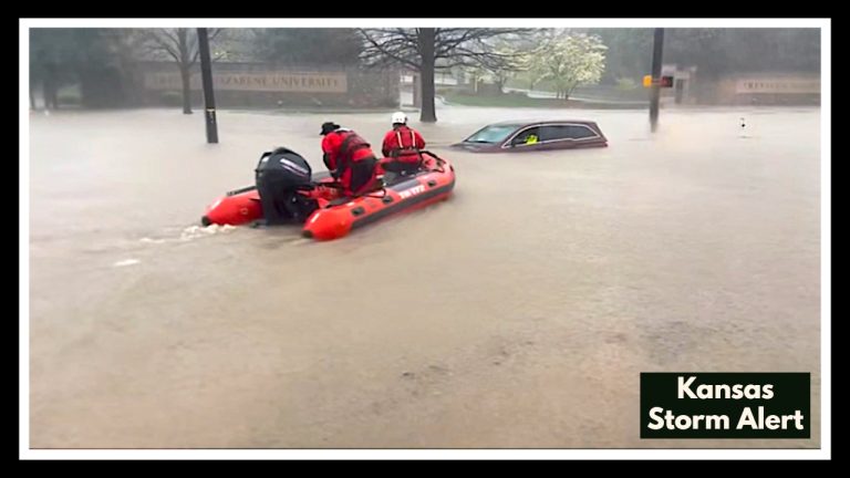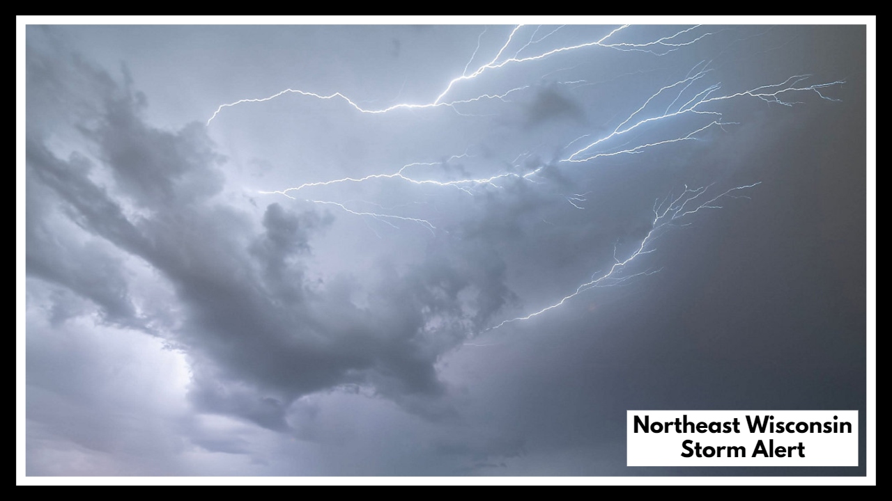
Northeast Wisconsin Storm Alert: Powerful Thunderstorms Could Bring Tornadoes and Hail Tonight
If you live in central or northeast Wisconsin, now is the time to prepare for rapidly changing weather. A powerful system is expected to move through the region today, and the Northeast Wisconsin Strong Thunderstorms Weather event could bring significant impacts between 4 p.m. and 10 p.m. on Monday.
Forecasters with the National Weather Service in Green Bay are warning that these storms could be more than just your average summer downpour. This system carries the potential for damaging winds over 60 mph, large hail, and possibly isolated tornadoes. The risk is greatest during the late afternoon and early evening hours, when atmospheric conditions will be most unstable.
Why You Should Take the Northeast Wisconsin Strong Thunderstorms Weather Seriously
This is not just a passing storm. The Storm Prediction Center has issued an Enhanced Risk (Level 3 of 5) for much of central and northeast Wisconsin. That means forecasters expect a greater-than-usual chance of severe thunderstorms capable of causing property damage and safety concerns.
The Northeast Wisconsin Strong Thunderstorms Weather system will likely develop quickly and may evolve into a line of fast-moving storms. Cities such as Green Bay, Appleton, Wausau, and Stevens Point are all within the potential impact zone. Even areas outside this core region could still experience sudden downpours or wind gusts.
What You Can Do Right Now
-
Stay Informed: Keep an eye on alerts from the National Weather Service or local news.
-
Charge Your Devices: A power outage is always a possibility during severe storms.
-
Have a Plan: Know where you’ll go if a tornado warning is issued. Basements or interior rooms are safest.
-
Stay Inside: Bring in any loose outdoor items like chairs, grills, or umbrellas.
Looking Ahead
Once tonight’s storms pass, cooler and calmer air is expected to move in. Tuesday and Wednesday look much quieter, with lower humidity and more seasonable temperatures. Still, this evening’s threat is real and demands attention.
Whether you’re heading home from work, picking up kids, or relaxing after a long day, take a few minutes to prepare for what could be one of the stronger weather events this month.
FAQ About Northeast Wisconsin Storm Alert
1. Who’s most likely to be affected by these storms?
The biggest concern is for people living in central and northeast Wisconsin. That includes cities like Green Bay, Wausau, Appleton, and Stevens Point. But if you’re nearby, don’t let your guard down — storms can shift and change quickly.
2. When should I expect the worst of the weather?
Storms could start showing up as early as 4 p.m. and may stick around until about 10 p.m. The roughest patch is likely to be during the early evening, right when many folks are getting off work or settling in for the night.
3. What kind of severe weather are we talking about?
These storms could pack quite a punch. We’re talking about strong wind gusts, hail, and even the chance of an isolated tornado. On top of that, heavy rain could cause localized flooding, especially in low-lying areas.
4. What should I do to stay safe?
-
Try to stay indoors once the storms roll in.
-
If things get serious, head to a basement or interior room, away from windows.
-
Charge your phone and flashlights just in case the power goes out.
-
Bring in any outdoor furniture or loose items — you don’t want those becoming flying debris.
5. Where can I check for the latest updates?
You’ve got a few solid options:
-
The National Weather Service (Green Bay)
-
The Storm Prediction Center (SPC)
-
Local TV stations or trusted weather apps
-
And don’t ignore those emergency alerts on your phone — they’re there to keep you safe.