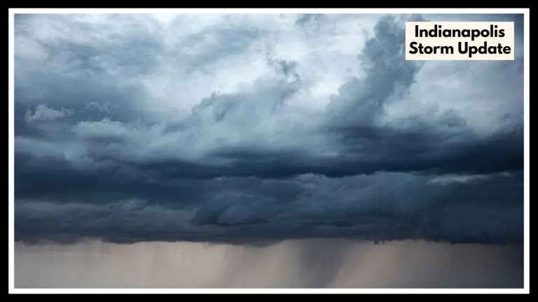
Northern Indiana Faces Double Threat: 90°F Heat Followed by Destructive Storms
If you’re in Northern Indiana, keep an eye on the sky and the thermostat this week. A Northern Indiana Weather Alert has been issued as conditions are setting up for a one-two punch of heat and storms that could make midweek not just uncomfortable, but potentially dangerous. The combination of 90°F heat index values and the threat of damaging storms by Wednesday could impact everything from your daily commute to outdoor work and family plans.
A Sweaty Start to the Week
The first half of the week will feel more like the heart of summer. Monday and Tuesday will bring highs in the upper 80s, but it won’t just be hot — it’ll be sticky, with humidity pushing the heat index close to 90°F. This kind of heat can sneak up on you, especially if you’re spending time outdoors. If you’re working outside, mowing the lawn, or even walking the dog, it’s a good idea to stay hydrated and take breaks in the shade.
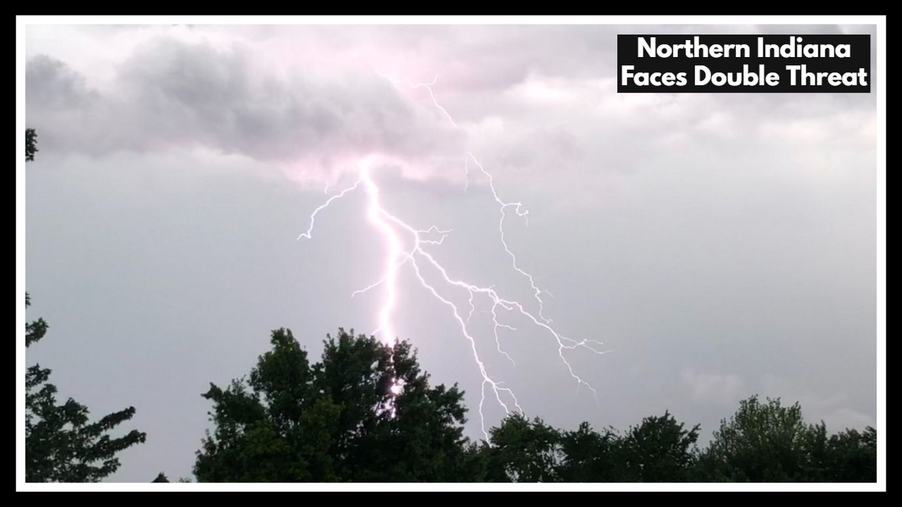
Northern Indiana Weather Alert: Storms Brewing After the Heat
The real weather concern arrives on Wednesday afternoon. As that hot, humid air lingers, a cold front is expected to move in — and that’s when things could turn rough. Forecasters are tracking a strong line of storms that may bring:
-
Strong, damaging wind gusts
-
Heavy downpours with localized flooding
-
Large hail in isolated areas
-
And possibly a few quick-hitting tornadoes, especially if conditions shift
This Northern Indiana Weather Alert isn’t just about rain — it’s about the potential for fast-moving, high-impact storms during peak weekday hours. If you’ve got errands to run, kids in summer activities, or work outdoors, you’ll want to be weather-aware through late Wednesday.
Why It Matters — And What You Can Do
This type of weather setup is a common summertime combo in Indiana — hot, humid, and then suddenly stormy. But that doesn’t make it any less serious. Power outages, falling tree limbs, and flooded intersections are all possible by Wednesday evening.
Here’s how you can stay ahead:
-
Check your weather alerts and make sure your phone’s emergency notifications are on.
-
Charge your devices Tuesday night in case of power outages Wednesday.
-
Plan to stay indoors during the afternoon and evening on Wednesday.
-
Secure outdoor items like umbrellas, trash bins, and lawn chairs ahead of time.
FAQ About Northern Indiana Faces Double Threat
1. What exactly is this weather alert about?
The Northern Indiana Weather Alert covers two main concerns: dangerously hot and humid weather early in the week, followed by a strong line of thunderstorms expected on Wednesday afternoon and evening. The storms could bring damaging winds, heavy rain, hail, and even a brief tornado in some spots.
2. When will the worst weather hit?
The heat and humidity will start building Monday and peak by Tuesday into early Wednesday, when the heat index may feel like 90°F or more. The severe storm threat is focused on Wednesday afternoon into the evening, especially after 2–3 PM.
3. What parts of Northern Indiana will be affected the most?
Cities like South Bend, Fort Wayne, Elkhart, and Valparaiso are all in the zone for both the heat and the storm risk. If you’re in any area north of Indianapolis, you should stay weather-aware through midweek.
4. How serious is the storm threat — should I be worried?
It’s a situation to take seriously but not panic about. Forecasters are confident that strong storms will develop, and some could be severe — meaning 60+ mph winds, hail over 1 inch, and localized flooding are possible. Power outages and tree damage could happen in isolated spots.
5. What should I do to prepare?
-
Stay hydrated and avoid strenuous activity during peak heat hours
-
Charge your phone and make sure your weather alerts are turned on
-
Secure anything outside that could blow around in strong winds
-
Have a shelter plan in place in case a warning is issued Wednesday afternoon or evening