Ohio Severe Thunderstorm Alert: 60 MPH Winds and Hail Slam Trumbull and Ashtabula Counties Tonight!
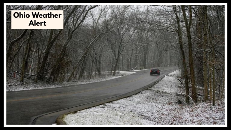
Hey, if you’re around Trumbull or Ashtabula counties, heads up—there’s an Ohio Severe Thunderstorm Alert that’s active until 5:30 a.m. Friday morning. This storm is pretty serious. We’re talking about winds that could hit up to 60 mph and hail the size of quarters falling from the sky. That kind of weather can really mess with your car, trees, and even your house, so it’s a good idea to get ready and stay safe tonight.
The storm’s already been spotted near Orwell and is moving east at about 35 mph, heading toward places like Andover, Kinsman, and Montville. It’s part of a bigger system sweeping through the Great Lakes area, so things might stay rough for a bit. If you’re in one of these towns, now’s definitely the time to bring inside anything that could fly away, stay indoors, and avoid driving unless you really have to.
Here’s What You Should Know About This Ohio Severe Thunderstorm Alert
Sometimes, it’s easy to brush off these warnings, but storms like this can sneak up on you fast. That’s why this alert is so important—it’s a chance to get ahead of the worst. The strong winds and hail can knock down branches, damage things around your home, and make roads dangerous. So keep your phone handy, stay tuned to local updates, and make sure you’re charged up in case the power goes out.
When the storm hits, the safest spot is inside, away from windows. If you can, check in on family, friends, or neighbors—especially if they might need some help getting through it. Doing these little things now can really save you a lot of headaches later.
FAQ About Ohio Severe Thunderstorm Weather
1. Who’s getting hit by this storm?
If you’re in Trumbull or Ashtabula counties—places like Orwell, Andover, Kinsman, or Montville—this alert is for you. Keep an eye out!
2. How strong is this storm going to get?
We’re talking winds up to 60 mph and hail about the size of quarters. It’s strong enough to cause damage to cars, trees, and even your home, so don’t take it lightly.
3. How long should I expect the storm to stick around?
The warning lasts until 5:30 a.m. Friday, but the storm might linger a bit longer as it moves east. Best to stay prepared through the early morning hours.
4. What’s the best way to stay safe?
Stay inside, away from windows. Bring in anything outside that could get blown away, and avoid driving unless you really have to. And keep your phone nearby so you don’t miss any updates.
5. Should I expect more storms after this one?
There’s a bigger weather system moving through the area, so it’s possible more storms could follow. Keep tuned to your local weather just to be safe.