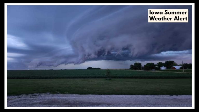
Rhode Island Is About to Boil: 90s Heat and Surprise Storms Hitting Providence Thursday Night!
PROVIDENCE, RI — A Rhode Island Weather Alert is in effect as the region prepares for a significant spike in temperatures and a chance of thunderstorms late Thursday. After a relatively mild start to the week, heat and humidity will build quickly — with afternoon highs expected to reach near 90°F in Providence by Thursday, followed by a chance of scattered thunderstorms in the evening.
What’s Driving This Sudden Change?
The warmup comes courtesy of a high-pressure system building over the Mid-Atlantic and New England, funneling in warmer, humid air from the south. By Thursday afternoon, Providence is forecast to reach highs around 89°F to 91°F, with high humidity making it feel even hotter.
This pattern is typical for late June but still a shock to the system given the cooler, cloudier days earlier this week. The sudden rise in temperature increases the risk of heat-related health issues, particularly for vulnerable groups.
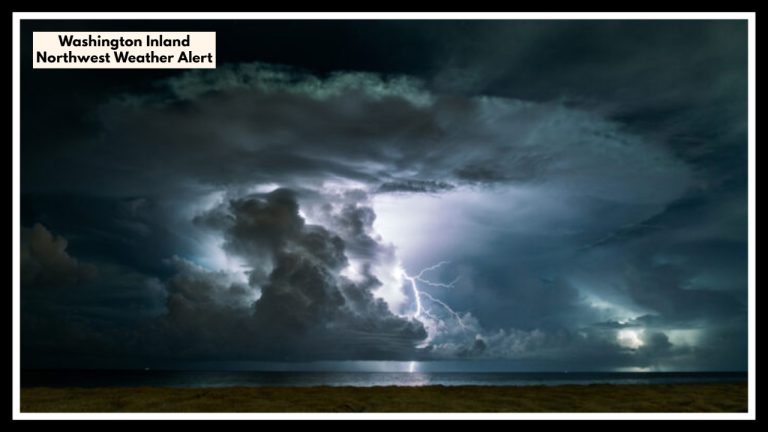
Thunderstorm Risk by Evening
As the hot air builds during the day, so does instability in the atmosphere. By Thursday evening, forecasters expect scattered thunderstorms to develop across Rhode Island, especially in the Providence area. These storms are not expected to be widespread or severe, but they may bring brief heavy downpours, gusty winds, and lightning, which could affect evening plans and late-day travel.
What This Means for Residents and Commuters
This heat-and-storm combo can impact just about everyone:
-
Outdoor workers, commuters, and students may struggle with heat stress in the afternoon.
-
Evening travelers along I-95 should be ready for possible slick roads and sudden low visibility.
-
Event planners and restaurants with outdoor seating should be on alert for rapid weather shifts after sunset.
The bottom line: while Thursday may start sunny and summery, the day could end with sudden weather disruptions.
Staying Safe in the Heat and Rain
Here are some quick but important reminders:
-
Stay hydrated throughout the day, even if you’re not feeling thirsty.
-
Try to schedule outdoor activities in the morning or early evening, before peak heat or after storms have passed.
-
Check the radar before heading out in the evening, especially if you’re walking, biking, or driving.
-
If thunderstorms develop, head indoors and avoid open fields, high ground, and water.
Even a short-lived thunderstorm can produce lightning strikes, downed branches, or temporary power outages — so it pays to stay weather-aware.
Hotter Days on the Horizon
This stretch of hot weather won’t be a one-day event. Friday is expected to stay sunny, breezy, and still quite warm — with highs in the upper 80s. By Monday and Tuesday, forecasters are tracking even hotter conditions, possibly breaking into the low 90s, making it some of the hottest weather of the season so far.
Now is a good time to make sure your air conditioning or fans are working properly, your pets have access to water and shade, and your summer safety habits are dialed in.
FAQ About Rhode Island Weather Alert
1. Why is there a weather alert for Rhode Island this week?
The Rhode Island Weather Alert was issued because of an expected surge in heat — with temperatures climbing into the low 90s on Thursday — followed by the potential for scattered evening thunderstorms. It’s a classic summer weather setup that can bring both heat-related health concerns and sudden weather disruptions.
2. When will the heat be at its worst?
The hottest part of the day is expected to hit between 1 p.m. and 5 p.m. on Thursday, with temperatures in Providence reaching 89°F to 91°F. Humidity will make it feel even hotter, so it’s important to stay cool and limit outdoor activity during these hours.
3. Will everyone in Rhode Island see thunderstorms Thursday night?
Not necessarily. Scattered storms are expected Thursday evening, but they won’t be widespread. That said, anyone in the Providence area — especially along the I-95 corridor — should be prepared for brief downpours, gusty winds, and lightning between 6 p.m. and 10 p.m.
4. How can I stay safe during this hot and stormy stretch?
Stay indoors during peak heat, drink water often, and avoid overexertion. If storms do develop, head indoors quickly and avoid using electronics or being near tall trees or open water. Also, check your weather app or a local radar before making evening plans outdoors.
5. Is this the start of a longer heatwave?
Yes, this could be the beginning of a multi-day stretch of hot weather. Forecasts suggest highs in the upper 80s and 90s may continue into next week. This might end up being one of the first real summer heatwaves of the season in Rhode Island.