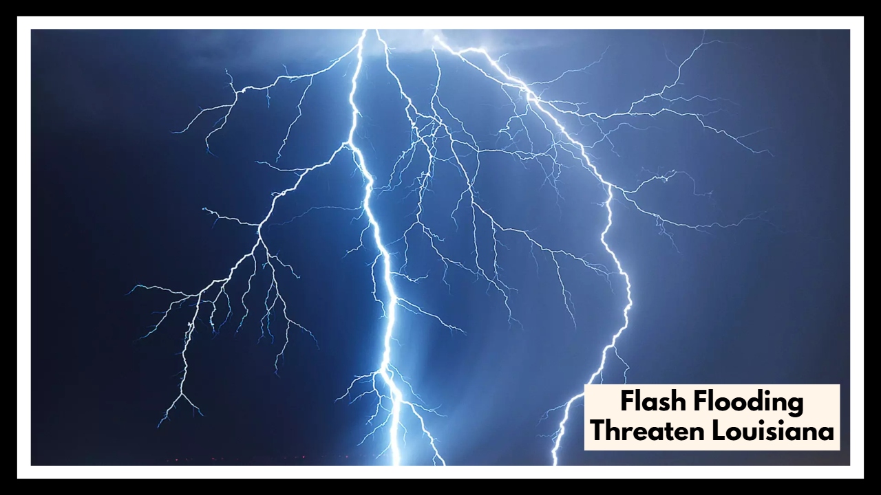
Severe Thunderstorms and Flash Flooding Threaten Louisiana: Here’s What You Need to Know!
A Louisiana Spring Weather Alert is now in place as a powerful line of thunderstorms is set to sweep across Shreveport and the I-20 corridor starting Wednesday afternoon. With heavy rain, gusty winds, hail, and flooding all possible, midweek travel could turn tricky fast. If you live in the area, now’s the time to get prepared, stay updated, and make sure you have a plan in place.
Breaking Down the Louisiana Spring Weather Alert
This upcoming storm is being fueled by a strong low-pressure system pulling plenty of moisture into Louisiana — and mixing it with unstable air, the perfect setup for intense weather. The National Weather Service has already flagged Shreveport and nearby towns along I-20 for potential trouble. Expect drenching rain, powerful winds, and hailstones big enough to dent cars and damage rooftops.
As the storm strengthens into Wednesday evening, flooding, dangerous driving conditions, and even some property damage are real possibilities. It’s one of those systems that can catch people off guard if they’re not paying close attention.
What’s Headed Our Way?
Heavy Rain and Flash Flooding
The biggest concern right away will be heavy rain that could lead to flash flooding, especially in urban spots like Shreveport. Rural roads along the I-20 corridor could also flood quickly. Even a few inches of water can disable a car — or worse — so if you come across water covering a road, don’t take the risk. Turn around and find another route.
High Winds and Power Outages
Gusts could top 60 mph during the strongest storms. That’s enough to knock down trees, snap power lines, and cause widespread outages. If you’re out on the roads — especially in trucks, RVs, or anything tall and boxy — be ready for sudden wind gusts that could make driving dangerous.
Hail Threats
Some of the stronger storms could also bring hail up to the size of quarters. Hail that size can beat up cars, rooftops, and even crops. If a hailstorm hits, find shelter fast — preferably inside a sturdy building or your car, safely parked.
Frequent Lightning
Lightning will be another real danger. It can spark fires, damage electrical systems, and cause serious injuries. If you hear thunder, that means lightning is close enough to strike. Best bet? Get indoors and stay put until the storm passes.
How to Stay Safe During the Louisiana Spring Weather Alert
Here are some smart moves to stay safe:
-
Stay Inside: When the worst weather hits, stay indoors and keep away from windows. If you’re living in a mobile home, try to get to a sturdier shelter if possible.
-
Keep an Eye on the Forecast: Check your weather app, tune in to local news, or listen to NOAA weather radio. Conditions can change fast, and being informed gives you an edge.
-
Delay Travel: If you don’t absolutely have to drive during the storm, don’t. Roads could flood without warning, and the high winds will make driving extra dangerous.
-
Prepare for Power Outages: Charge up your phones, flashlights, and any backup batteries. Make sure you’ve got bottled water, some easy-to-eat food, and a few candles or lanterns just in case.
-
Secure Anything Outdoors: Bring in patio furniture, garbage cans, and anything else that could get picked up and tossed around by the wind.
When Will Things Calm Down?
The roughest part of the storm should move out by Thursday morning. Some showers could stick around during the day, but the major severe threat will be over. By Friday, things should look a lot more like a normal Louisiana spring day — clear skies, warm temps, and a much calmer vibe.
FAQ About Flash Flooding Threaten Louisiana
1. What’s going on with the Louisiana Spring Weather Alert?
A strong round of thunderstorms is heading our way, especially around Shreveport and along the I-20 corridor starting Wednesday afternoon. We’re talking heavy rain, strong winds, hail, and the chance for flash flooding. It’s shaping up to be a rough stretch of weather, so it’s a good idea to stay alert and be ready.
2. When will the worst of the storms hit — and where?
The most intense weather is expected from late Wednesday afternoon into early Thursday morning. Areas around Shreveport and the I-20 stretch are in the bullseye. If you live in low-lying neighborhoods or areas that usually flood, be extra careful.
3. What kinds of problems should I expect during the storm?
You’ll want to be ready for heavy rain that could flood streets fast, strong wind gusts that could topple trees and power lines, hail big enough to ding cars and rooftops, and lots of lightning. Roads could get slick and dangerous in a hurry, so staying off them if you can is a smart move.
4. How can I stay safe while the storm is happening?
First, stay indoors and away from windows if the weather gets bad. Make sure your phone and other essentials are fully charged in case the power goes out. Keep an eye on weather alerts through a trusted app or radio station, and avoid driving unless you absolutely have to — especially through flooded roads. Also, bring in any outdoor stuff that could get blown around.
5. When will things finally calm down?
Good news — the worst of it should be over by early Thursday morning. There might still be some light rain hanging around during the day, but the real danger should pass. By Friday, we’re looking at much nicer spring weather — finally!