South Carolina Thunderstorm Alert: What You’re Not Being Told About Today’s Weather
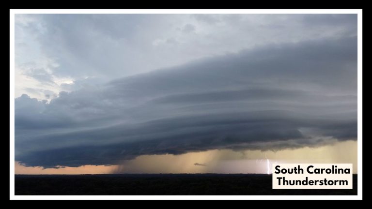
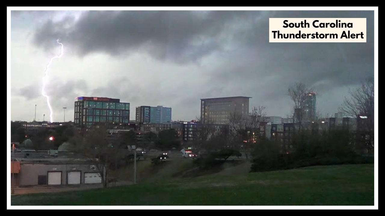
A South Carolina Thunderstorm Alert has been issued as a powerful line of storms heads straight for the Midlands and the Central Savannah River Area (CSRA) this Sunday. Forecasters say we could be in for heavy rain, damaging winds, hail, and even the slight chance of a tornado. If you’re in the path of this storm, now’s the time to get prepared and stay alert—conditions are expected to worsen throughout the evening.
What’s Happening Out There Now
If you’re in Columbia, Aiken, or surrounding areas, you’ve probably already noticed the rain starting to fall. Temperatures are sitting in the mid-60s and skies are gray—but don’t be fooled. This is just the lead-in to what could become a much more intense storm system later today.
According to meteorologists, things could turn quickly. They’re keeping a close eye on how this system is developing, and so should we.
South Carolina Thunderstorm Alert: This Storm Means Business
This isn’t your usual Sunday rain. The South Carolina Thunderstorm Alert is tied to a serious weather pattern with the potential to bring large hail, powerful wind gusts, and flash flooding. And while it’s not a sure thing, there’s even a chance of tornadoes in some areas.
So what’s causing all this? It comes down to clashing air masses—warm, humid air sweeping in from the Gulf is meeting a cooler front from the north, creating the kind of atmospheric tension that can lead to sudden, violent storms. This setup doesn’t just pose a threat today—it could carry over into Monday as well.
What You Can Do Right Now to Stay Safe
Local officials and weather experts are urging people across the Midlands and CSRA not to wait until it’s too late. Here’s how you can stay ahead of the storm:
-
Stay updated. Use trusted weather apps, radio stations, or TV reports to keep track of warnings and changes.
-
Avoid unnecessary driving. Storm conditions can turn roads deadly fast—between flooding and poor visibility, it’s best to stay put.
-
Charge up your devices. If the power goes out (and it might), you’ll want flashlights, phones, and backup batteries ready.
-
Know your safe spot. Whether it’s a basement or an interior room without windows, have a plan for where to shelter in case of a tornado warning.
Looking Beyond Today: Monday Brings More Trouble
Even after the worst of Sunday’s storms pass, we’re not in the clear yet. Forecasts show that Monday could bring another round of rain and thunderstorms, especially for areas already soaked by Sunday’s downpours. Flooding could become a real concern, particularly in low-lying neighborhoods or near creeks and rivers.
So, as we go through the rest of today—and into tomorrow—keep an eye on the sky and your local alerts. Being prepared could make all the difference.
FAQ About South Carolina Thunderstorm Alert
1. So, what’s this South Carolina Thunderstorm Alert all about?
Basically, we’ve got a line of strong storms heading our way, and it could get pretty intense—heavy rain, strong winds, hail, and maybe even a tornado or two in some spots. If you’re in the Midlands or CSRA, it’s one of those days to keep an eye on the weather and make sure you’re ready just in case.
2. Who really needs to be paying attention to this?
If you’re in or around Columbia, Aiken, or pretty much anywhere in the Midlands or Central Savannah River Area, you’re right in the storm’s path. These are the spots where the weather could turn quickly, so folks in those areas should be extra alert.
3. When should we expect the worst of it?
The rough stuff is expected to roll in later this afternoon into the evening. That’s when the rain and storms could really pick up. And just a heads-up—Monday might not be much better, with more rain and possible flooding where the ground’s already soaked.
4. What should I actually do to get ready?
Good question—and you don’t need to panic, just be smart:
-
Keep your phone charged and stay tuned to the news or weather apps.
-
If you can, stay off the roads once the storms start—flooded streets can sneak up fast.
-
Get flashlights, batteries, and emergency supplies ready in case the power goes out.
-
And make sure everyone in your house knows the safest place to shelter if a warning gets issued—like a basement or a small interior room.
5. Could this all change, or get worse?
Yeah, it definitely could. Storms like this can be unpredictable—things can shift fast. That’s why it’s so important to stay plugged into local weather updates. Even if things seem calm now, it’s better to be ready than caught off guard later.