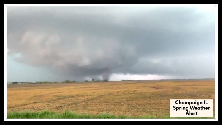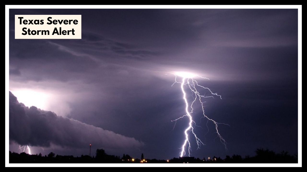
Texas Severe Storm Alert: What You Need to Know Before the Storm Hits Tonight
If you’re in Corpus Christi or anywhere along the Coastal Bend, it’s time to pay close attention. A Texas Severe Storm Alert has been issued, warning residents about strong storms expected to roll through late Friday into Saturday morning. This weather system brings with it a serious combination of heavy rain, damaging winds, and a heightened risk of flash flooding—especially in low-lying and urban areas.
The National Weather Service has placed several counties, including Nueces and San Patricio, under a Flash Flood Watch, with rainfall totals expected to reach 1 to 3 inches in many spots. Some isolated areas could see even more—potentially up to 6 inches—making this storm one to watch closely.
What This Texas Severe Storm Alert Means for You
This isn’t your typical spring shower. The Texas Severe Storm Alert highlights the potential for powerful wind gusts up to 40–50 mph, flash floods that could disrupt travel, and a rough night ahead for those near the coast. These winds are strong enough to knock down tree limbs, cause isolated power outages, and make road conditions downright dangerous.
Drivers should be especially cautious—roads may become slick and waterlogged quickly. If you’re planning to be out Friday night, consider adjusting your plans or checking in with local weather apps for live radar updates. Conditions are expected to peak between 9 PM and 6 AM Saturday.
If you’re near the coast, keep in mind that higher-than-usual tides and dangerous rip currents are expected, adding an extra layer of concern for beachgoers and coastal residents.
Stay Safe and Be Ready
Here are a few ways you can prepare:
-
Secure anything outside like lawn furniture or trash bins that could be picked up by strong winds.
-
Avoid flooded roads—remember the rule: “Turn Around, Don’t Drown.”
-
Keep your phone charged and flashlights ready in case of power outages.
-
Stay indoors during the worst of it, especially overnight when visibility is poor.
The Weekend Outlook
The good news is that once this fast-moving storm clears out, Saturday afternoon and Sunday are looking much better. Skies should gradually clear, and temperatures will remain mild, making for a great recovery day. Just keep in mind—this is Texas spring weather, and it tends to be unpredictable. Stay weather-aware even after the storms move on.
FAQ About Texas Severe Storm Alert
1. What’s going on with the Texas Severe Storm Alert in Corpus Christi?
Basically, Corpus Christi is in for some rough weather starting Friday night. Strong storms are expected to move in, bringing heavy rain, gusty winds, and the chance of flash flooding. If you’ve got outdoor plans or need to be on the road, it’s a good idea to keep a close eye on the weather.
2. When should we expect the worst of it?
The roughest stretch looks to be between Friday night and early Saturday morning, with the heaviest rain and strongest winds hitting during those overnight hours. That means it’s smart to finish up errands early and stay indoors if you can.
3. How bad could the wind get?
Winds could gust up to 50 mph, which is strong enough to knock down tree limbs or power lines. You’ll want to bring in anything loose from your yard—like trash bins or patio furniture—before the storms roll through.
4. Is flash flooding really something to worry about?
Absolutely. Some areas could get several inches of rain in just a short time, and that can quickly lead to flooding—especially in low-lying spots. If you see water covering the road, turn around. It’s just not worth the risk.
5. Will the rest of the weekend be stormy too?
The good news? Things should clear up by Saturday afternoon. The weekend is expected to end on a much calmer, sunnier note—perfect for getting back outside once the storms pass.