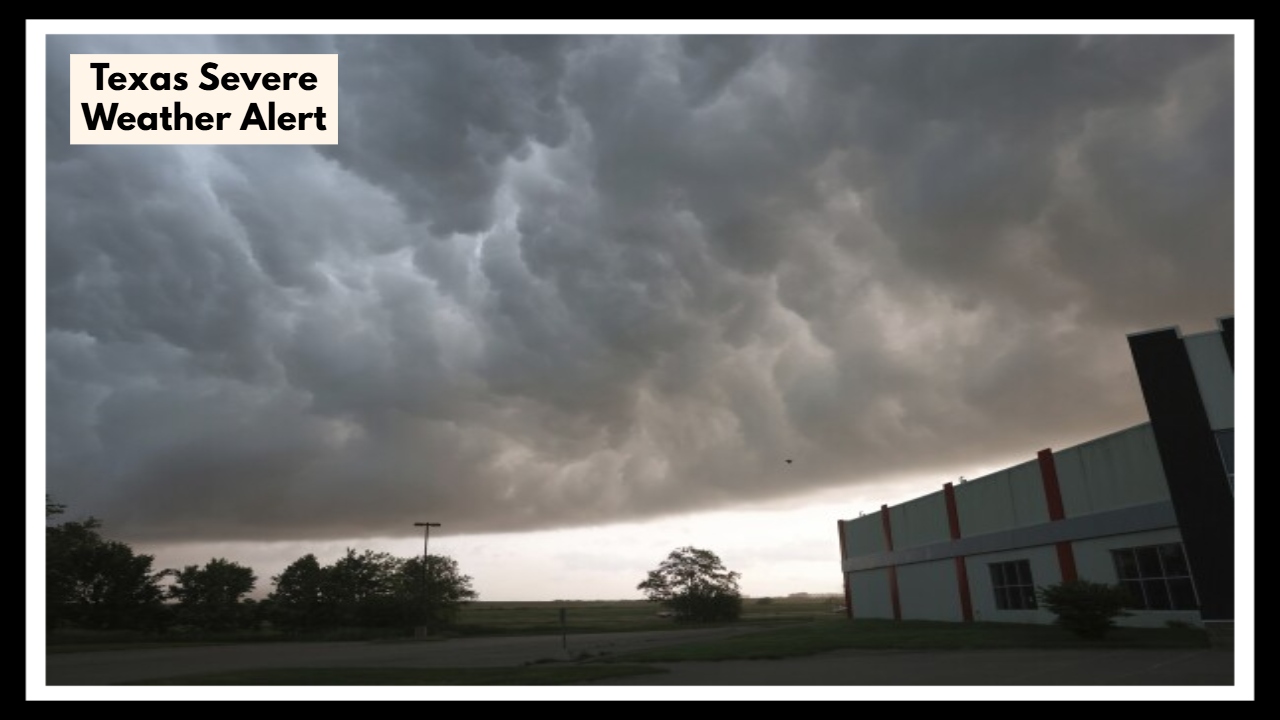
Texas Severe Weather Alert Issued—Here’s When and Where the Worst Storms Will Hit
If you’re waking up or heading out in North or Central Texas today, you’ll want to pay close attention to the Texas Severe Weather Alert in effect through Friday afternoon. From Dallas-Fort Worth to Austin and surrounding areas, strong storms are rolling in, packing heavy rain, high winds, and the potential for flooding. This isn’t your average spring shower — this system could seriously disrupt your day if you’re not prepared.
What’s Really Coming: Not Just Rain, but Risk
The weather might seem calm early in the day, but don’t be fooled — the atmosphere is charged and unstable. By mid-afternoon, thunderstorms are expected to erupt across large portions of the state. Some of these storms could be severe, with gusts up to 60 mph and hail large enough to dent cars or damage rooftops.
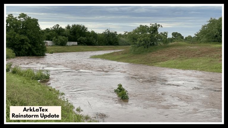
In fact, the Texas Severe Weather Alert isn’t just about storms — it’s also about the speed and intensity of what’s coming. Roads could flood quickly, especially in areas with poor drainage. And while tornadoes aren’t the main concern, there’s still a small chance that a rotating storm could spin one up.
What You Should Do Right Now
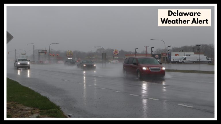
If you live in DFW, Waco, Austin, or anywhere in between, now is the time to make sure your phone is charged, your alerts are turned on, and your plans are flexible. Avoid unnecessary travel this afternoon, especially in flood-prone areas. If you’re caught on the road during a storm, take it slow and don’t try to drive through water — it only takes a few inches to sweep your car away.
Once this fast-moving front pushes through by Friday night, the weekend should bring drier skies and more spring-like temperatures. But for now, it’s all about staying weather-aware and ready to pivot.
Texas Spring Storms Are No Joke — Be Ready
Texas weather can flip in an instant. Today’s storms may be brief, but they’ll hit hard. Whether you’re picking up the kids from school or commuting home from work, keep one eye on the radar. It could make all the difference in how safely you get through the day.
FAQ About Texas Severe Weather Alert
1. Which areas are under the Texas Severe Weather Alert?
The alert mainly covers the Dallas-Fort Worth area, Central Texas, including Waco and Austin, and stretches to nearby regions. If you’re in these areas, be ready for some heavy rain, possible flooding, and strong winds through Friday afternoon.
2. When will the worst of the storm hit?
The storms are expected to ramp up mid-to-late Friday afternoon and could carry through the evening. Heavy rain, gusty winds up to 60 mph, and flash flooding are the biggest concerns during this time, so stay alert as the weather conditions shift.
3. Are tornadoes a major concern with this storm?
Tornadoes aren’t expected to be the main issue, but there is a slight chance of a spin-up if conditions align, especially with some of the stronger storms. Keep your weather alerts active in case you need to take cover.
4. What’s the best way to stay safe during the storm?
-
Don’t drive through flooded roads – just a few inches of water can cause trouble.
-
Stay indoors while the storm is passing through.
-
Keep your phone charged and make sure you can get weather alerts so you’re always up to date.
-
If you had outdoor plans, it’s probably a good idea to reschedule them, especially if they’re later in the afternoon or evening.
5. What happens after the storms pass?
The good news is that the worst of the weather should be behind us by Friday night. Expect clear skies and more comfortable spring temperatures for the weekend, so you’ll be able to get outside and enjoy the better weather. Just stay tuned to the forecast, as Texas weather can change fast!