Urgent Michigan Weather Alert: Severe Storms, Hail, and Wind Headed Your Way—What You Need to Know
A Michigan Weather Alert has been issued ahead of a strong storm system that’s expected to sweep across the state Monday night into Tuesday. This isn’t just your typical spring rain—forecasters are warning of large hail, strong winds, and even the potential for tornadoes. With severe weather rolling in after dark, it’s a good idea to prepare now and stay informed.
So, What’s Headed Our Way?
The National Weather Service is closely watching this storm system as it pushes into the Great Lakes region. Here’s what Michigan residents should be on the lookout for:
-
Hail the size of golf balls (yes, really) could fall in some areas, posing a risk to cars, roofs, and gardens.
-
Strong wind gusts, possibly reaching 60 mph, may bring down tree limbs, knock out power, and make driving dangerous—especially for high-profile vehicles.
-
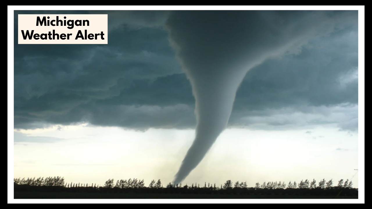
Tornadoes are possible. While nothing is certain yet, the setup is right for a few twisters to form. That means it’s important to know where your safest shelter is, just in case.
Why This Michigan Weather Alert Is a Big Deal
This Michigan Weather Alert matters because storms are expected to hit after sunset, a time when many people are sleeping and might miss alerts. Nighttime storms are more dangerous because it’s harder to see what’s coming—and that includes everything from hail to fast-moving tornadoes.
If you live in an area that’s prone to power outages, or if you’re out and about Monday evening, this is something you should plan around.
How to Stay Safe
Here are a few ways to protect yourself and your loved ones:
-
Stay indoors once the storm begins, and definitely avoid unnecessary travel Monday night.
-
Charge your devices ahead of time in case the power goes out.
-
Secure outdoor items like patio furniture or trash cans—they can quickly turn into flying debris.
-
Know your safe place—a basement or an interior room without windows is best if a tornado warning is issued.
When Will It All Clear Up?
The worst of the storm should pass by mid-morning Tuesday. Things should start to calm down later in the day, and we’ll get back to more typical spring weather. Still, keep an eye out for any lingering gusts or downed trees if you’re heading out early.
FAQ About Michigan Weather Alert
1. How severe is this storm expected to be?
Forecasters say we could see hail up to 2 inches wide, wind gusts up to 60 mph, and a slight risk of tornadoes. It’s not just a light thunderstorm—this system has the potential to cause real damage if you’re not prepared.
2. Can I still travel or run errands Monday night?
It’s best to finish up any errands before the storm rolls in. Driving during strong winds and heavy rain—especially at night—can be dangerous. Try to be home and settled before things get rough.