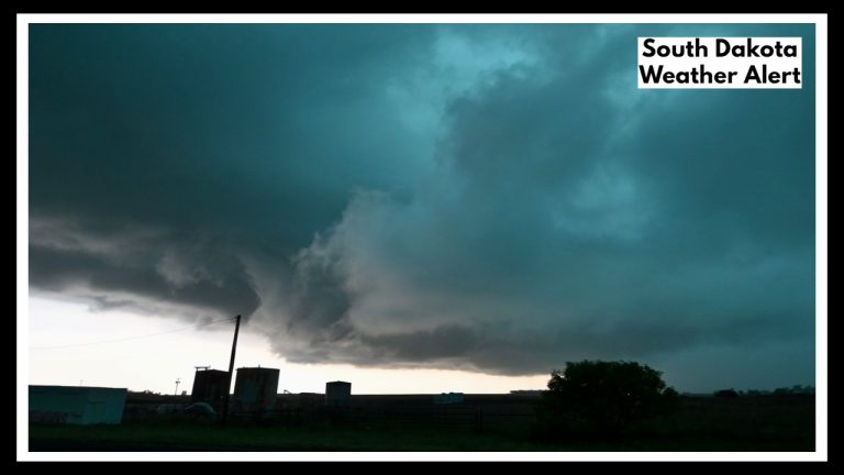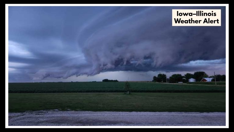
Utah Weekend Weather Shock: Rain, Wind, and Even Snow—Get Ready Now
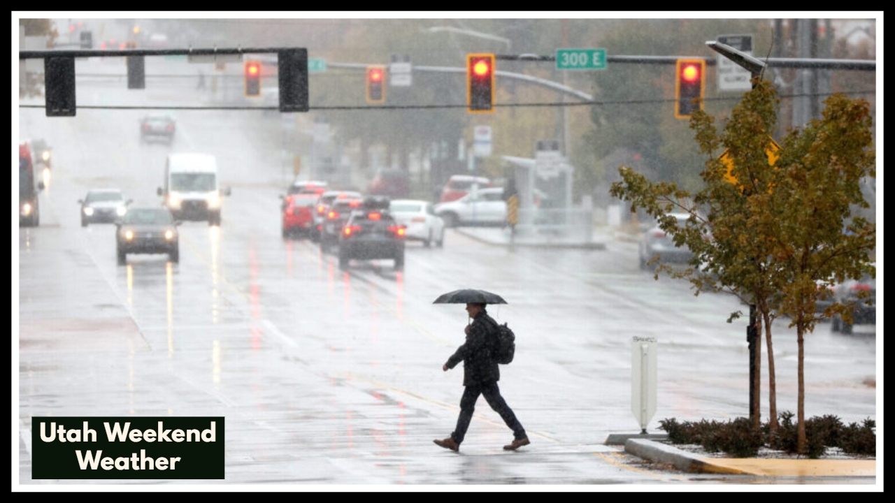
The Utah Weekend Weather is about to take a serious turn, and if you’ve been soaking up the sunshine lately, you might want to rethink your weekend plans. Starting late Saturday, a strong storm system is set to roll across the state, delivering widespread rain in the valleys and even snow in the higher elevations. Yes, snow—in May! It’s shaping up to be a wild mix of weather, with gusty winds, cooler temperatures, and rapidly changing conditions that could throw a wrench in travel or outdoor plans.
What You Can Expect from the Utah Weekend Weather Shift
Saturday might start off warm and breezy, but don’t let that fool you. By the evening, clouds will thicken and rain will start moving in from the west. For folks in Salt Lake City, Ogden, and Provo, the rain may come down steadily through the night. Higher elevations like the Wasatch and Uinta Mountains could see snowfall—possibly a few inches—which might catch weekend hikers and campers off guard.
The real punch from this Utah Weekend Weather system comes Sunday. Temperatures will nosedive, with some spots seeing 20–25° drops from Saturday highs. Mountain roads could become slick with snow, and the valleys may see heavy rain and localized flooding in areas with poor drainage or already saturated ground.
Key Impacts and How to Prepare
-
Rain in the valleys: Moderate to heavy showers could lead to water pooling on roads. Give yourself extra time if you’re driving.
-
Snow in the mountains: Elevations above 8,500 feet could get several inches of snow, making for tough hiking and travel conditions. Be ready if you’re heading into higher terrain.
-
Strong winds: Gusts up to 40 mph could make driving difficult, especially in open areas and mountain passes.
-
Cooler weather: Sunday’s highs may struggle to get out of the 50s in the north. You’ll want a jacket if you’re heading out.
Stay One Step Ahead
Storms like this move fast and forecasts can shift. Keep an eye on your local weather app, follow updates from the National Weather Service, and delay mountain travel if possible. This storm could come with surprises, so it pays to stay ready.
Looking ahead, the weather calms down by Monday, and a gradual warming trend should return by midweek. After this chilly, stormy stretch, sunny skies and pleasant spring temps will feel even better.