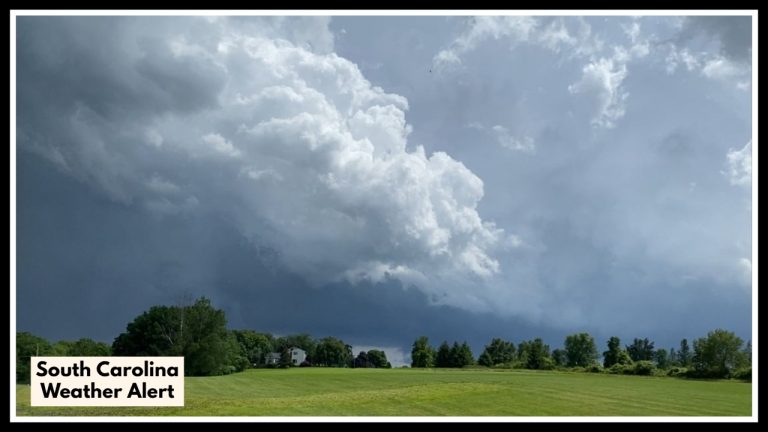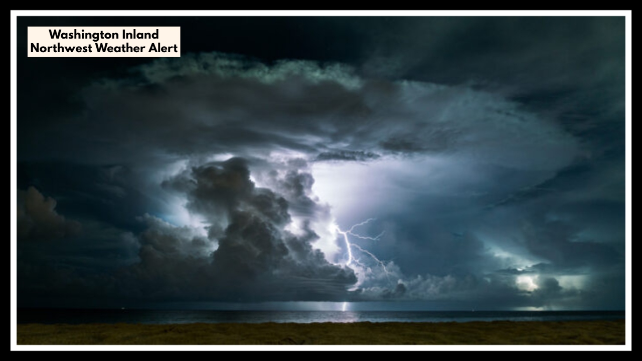
Washington Inland Northwest Weather Alert: Why a ‘Quiet’ Forecast Isn’t So Quiet After All
If you live in eastern Washington, don’t let the low storm chances lull you into ignoring the skies. The latest Washington Inland Northwest Weather update shows a 20% chance of isolated thunderstorms overnight into Thursday morning—but while the odds may be low, the impact could be high. That’s because these storms may carry lightning and gusty winds, with very little rain, setting the stage for potential wildfire starts.
This weather pattern comes at a time when the region is already dry and fire-prone, making even a brief overnight storm worth paying attention to.
What’s Really at Stake Tonight
The forecast is being driven by a weak upper disturbance rolling over the region late Wednesday into early Thursday. It’s not a dramatic system, but it’s just unstable enough to create scattered thunderstorms—mainly between 2 a.m. and late Thursday morning.
Most people might sleep through the night unaware, but these storms won’t be your average summertime rain showers. Instead, we could see “dry lightning”, where bolts strike without meaningful rainfall—an especially dangerous combination on landscapes that have been drying out under consistent June heat.
That’s why fire officials are closely watching the Washington Inland Northwest Weather conditions tonight. With dry vegetation and gusty outflow winds (possibly 20–30 mph), even a single lightning strike could ignite a fast-moving grass or brush fire.
Washington Inland Northwest Weather & Fire Watch: Stay Alert Tonight
Fire weather warnings are already active in parts of central and eastern Washington, and for good reason. June has been unusually warm and dry, pushing grasses and underbrush into peak fire conditions earlier than usual.
While Thursday afternoon should trend calmer and drier, the overnight hours pose a real window for risk—one that could carry into the day if fires are sparked and winds stay active.
What You Should Do
-
Don’t ignore overnight thunder: Even if it’s brief, it could mean lightning is active in your area.
-
Avoid outdoor burning or equipment use: Especially in the early morning hours Thursday.
-
Stay weather-aware: Conditions could change quickly, and emergency updates might come with little notice.
-
If you’re in rural or forest-adjacent areas, double-check your defensible space and fire safety measures.
FAQ About Washington Inland Northwest Weather
1. Why should I be concerned if there’s only a 20% chance of thunderstorms?
While the storm chance is relatively low, it’s not the number that matters—it’s what the storms could bring. Even one dry lightning strike in the right (or wrong) place could start a wildfire. The region is extremely dry right now, and it doesn’t take much to ignite brush or grass.
2. What time will the thunderstorms likely happen?
Forecasters say storms could begin as early as 2 a.m. and last into late Thursday morning. This means much of the threat could occur while people are asleep—so it’s a good idea to prepare tonight if you’re in a fire-prone area.
3. Is this a typical weather pattern for eastern Washington in June?
Not exactly. While thunderstorms aren’t rare in June, the combination of dry air, heat, wind, and lightning without significant rain is more unusual—and much more dangerous. That’s what makes this particular setup worth watching closely.
4. What can I do to reduce fire risk around my home?
If you’re in a rural or wooded area, make sure:
-
Dry brush and grass are cleared at least 30 feet from your home
-
Outdoor grills, fire pits, or any open flames are avoided tonight and tomorrow
-
You have an emergency plan in place, especially if you live near forested land
5. Will this fire risk continue into the weekend?
While Thursday’s storm threat should fade by the afternoon, the fire danger will stick around. Hot, dry conditions with occasional gusty winds are expected to continue into the weekend, keeping the fire threat elevated across much of the Inland Northwest.